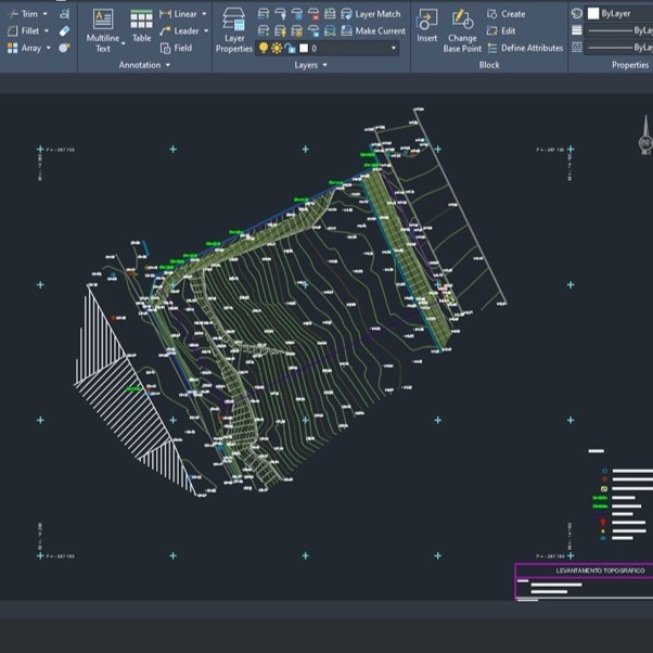
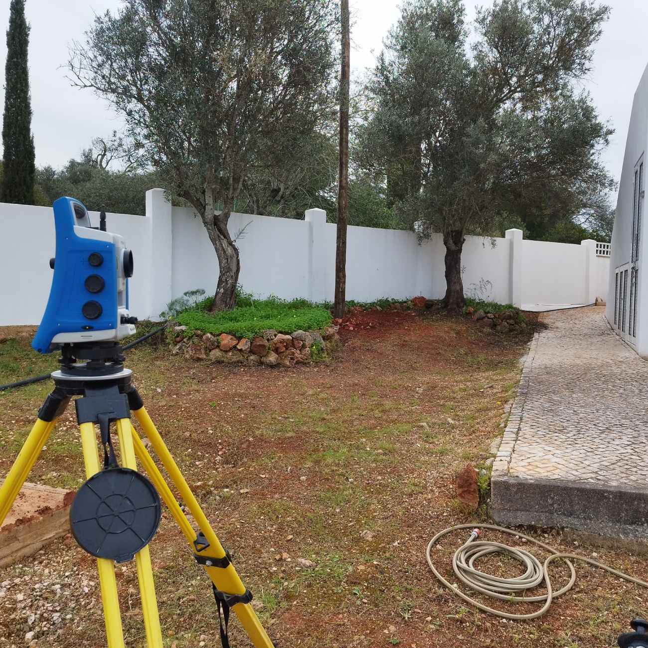
Topographical surveys
Carrying out highly accurate topographical surveys, essential for the development of engineering and architectural projects.
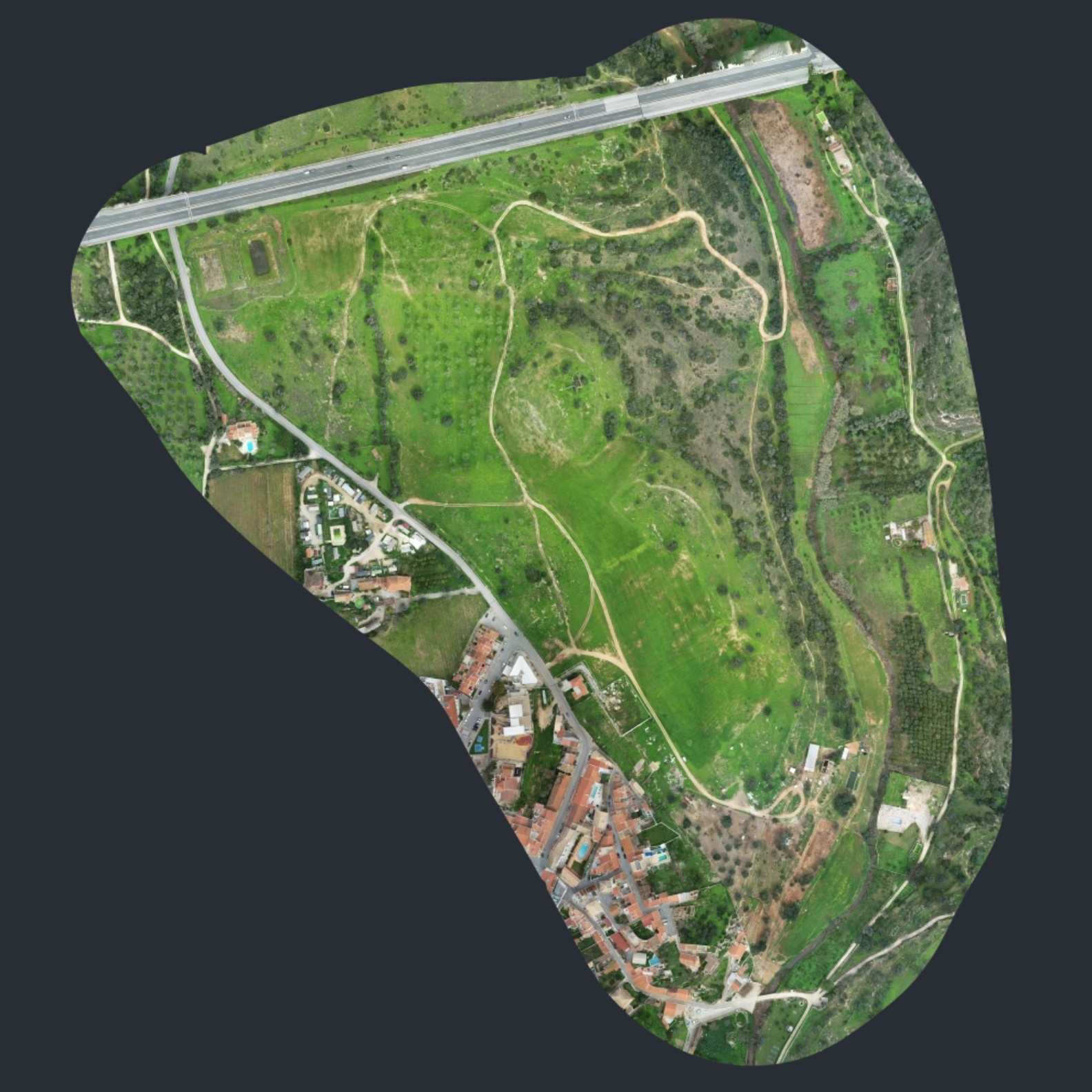
Photogrammetric surveys, execution of orthophotomaps
Photogrammetric surveys with the generation of georeferenced orthophotomaps, guaranteeing accurate information for various applications.

Drone surveys using lidar technology
Surveys carried out using a drone equipped with LiDAR, guaranteeing accurate three-dimensional models and detailed terrain information.
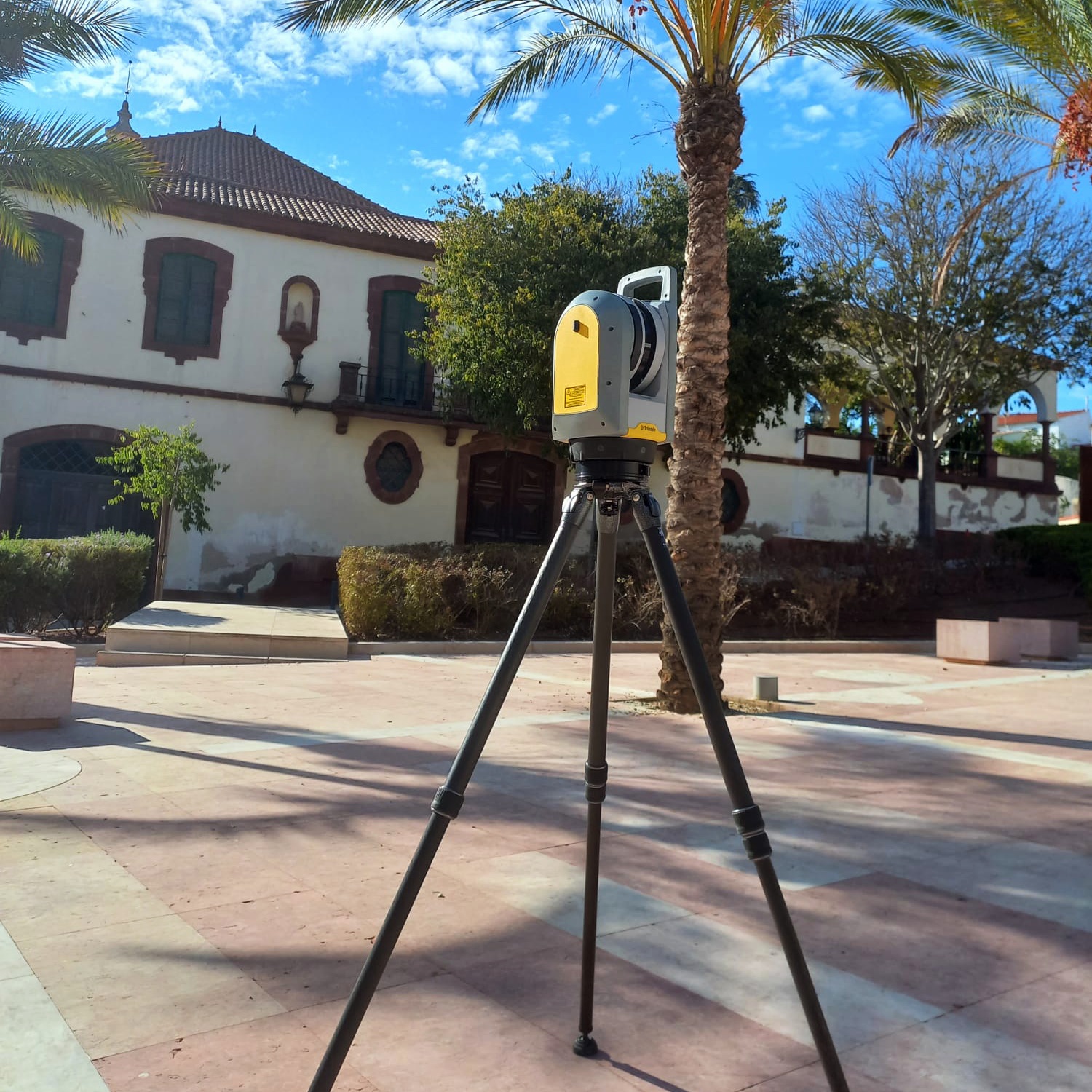
Surveying buildings with a laser scanner
Survey of buildings using a laser scanner, allowing precise and detailed models of structures to be obtained.
Land registry
Elaboração de processos de cadastro, por Técnicos de Cadastro Predial, de acordo com as normas em vigor. Garantido assim a máxima precisão e rigor na execução do processo de cadastro predial.

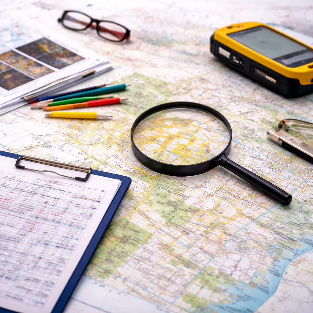
Cartography for approval by the DGT
Production of cartography in accordance with DGT standards, ensuring validation and compliance for official processes.
Expertises
Carrying out technical expertise with rigorous and well-founded analysis, supporting assessment and decision-making processes.
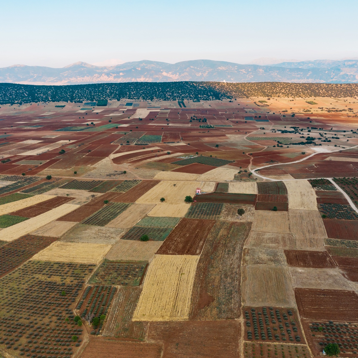
Implementation of agricultural projects
Implementation of agricultural projects based on topographic data, ensuring conformity and optimisation on the ground.

Surveying and monitoring structures
Execution of surveys and monitoring of structures, ensuring accurate analysis and detection of possible deformations or displacements.
Infrastructure register
Drawing up infrastructure records with georeferencing, ensuring detailed and up-to-date information for management and planning.

Calculating earth movements
Calculation of earth movements based on topographic data, guaranteeing precision in the planning and execution of works.

Works marking and support
Carrying out marking and technical support on site, ensuring compliance with the project and correct implementation of the elements.

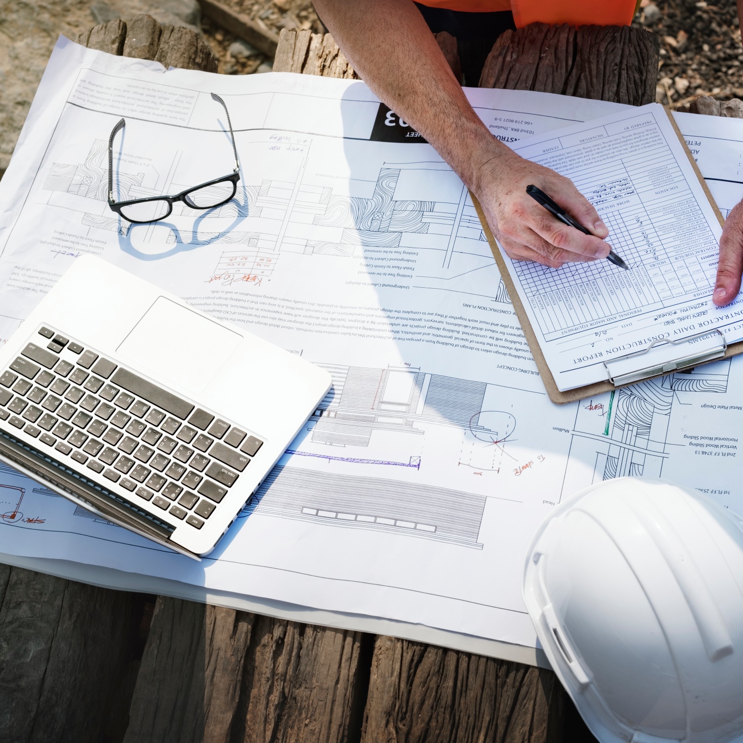
Supervision
Works supervision with rigorous technical monitoring, ensuring compliance with projects and applicable standards.
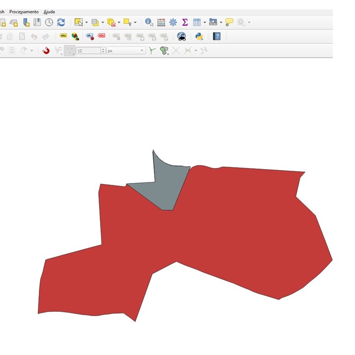
Cartographic completion
Cartographic completion by updating and correcting maps, guaranteeing complete information in line with reality.